August 5th, 2022 – Another year, another Sierra Challenge. This was my 4th year participating, but really my 2nd year doing the full thing. I hadn’t had the best year preparing for the challenge, but I had done my fair share of long days, so I figured I should be alright.
Also of note was that this was the first year the challenge was transferred from Bob Burd to Sean Casserly. Bob was still helping out, but Sean was taking the lead this year. In the spring, I offered to help Sean out with the challenge, and I ended up being tasked with manning the stat sheet. It was going to be a bit stressful to have to update it every day after getting off the trail, but I figured I’d manage.
The adventure started even before reaching the trailhead for Walker Mountain. The Sierra was getting hit by a strong monsoon this year, and sure enough as I was driving over Sonora Pass, I ran into some of the roughest thunderstorms I have ever encountered. The rain was so thick I could barely see even with my wipers on at full blast, and there was lots of boulders/debris in the road that I had to go into the other lane to avoid. It didn’t help that the eastside of Sonora Pass is a very steep and narrow road. The storms scared away most people, so the normally-popular area was completely devoid of people which gave it an eerie feel.


The rain was still coming down hard, as I came down the other side of the pass and continued over to the trailhead. It was quite a ways down a dirt road that thankfully wasn’t too muddy. There were only a few places to pull off the road at the TH, so I was glad that I got there early.
Day 1 was supposed to be an exciting day: Bob had selected a potentially-unclimbed peak for the first day of the challenge. He had only left hints to the location beforehand so as not to reveal the location, but there were enough clues that it was pretty easy for the experienced Sierra peakbagger to determine. Surely nobody had poached the first-ascent in the intervening months?
The peak was purported to have 5th class climbing and require a rope, but that wasn’t looking very doable given the terrible weather conditions. Regardless, I threw my harness and helmet into my pack and dozed off in the back of the Subie around 8:30pm – part of my plan to get more sleep this challenge.

I awoke at 5am to no rain, but no stars either. The forecast had been right, it wasn’t going to clear up. I reasoned there was no way we were going to be able to climb the challenge peak (Ink Rocks South, now that the secret’s out), and this was confirmed when I saw a text from Sean saying that, in lieu of the weather, any peak over 10,000 feet above Burt Canyon qualified as a challenge peak. I figured I’d climb Walker Mountain instead, a local P1K, so I continued getting ready. Eventually, Mike and Sean came up the road for the 6am start time, planning to climb Walker Mountain as well. The weather and rule change had meant people were starting at various times (or not at all), so it was just Mike, Sean, and I heading out at the usual 6am start time. A rather unceremonious way to kick off the 22nd Sierra Challenge.
It wasn’t really raining, but everything was incredibly wet from the downpour the previous day, and it was still quite foggy, giving the area a gothic feel. While the weather didn’t appear to of the thunderstorm variety, we still had to be very careful: the entire day was going to be on exposed ridgelines with nowhere to hide. We were going to be human lightning rods the whole day.

We made our way up the dirt road past a couple homesteads before it narrowed into a trail. Soon after, we left the trail and headed up the ridge. There was some light bushwhacking which made us absolutely drenched. There was no drying off today; it was going to be a wet one.
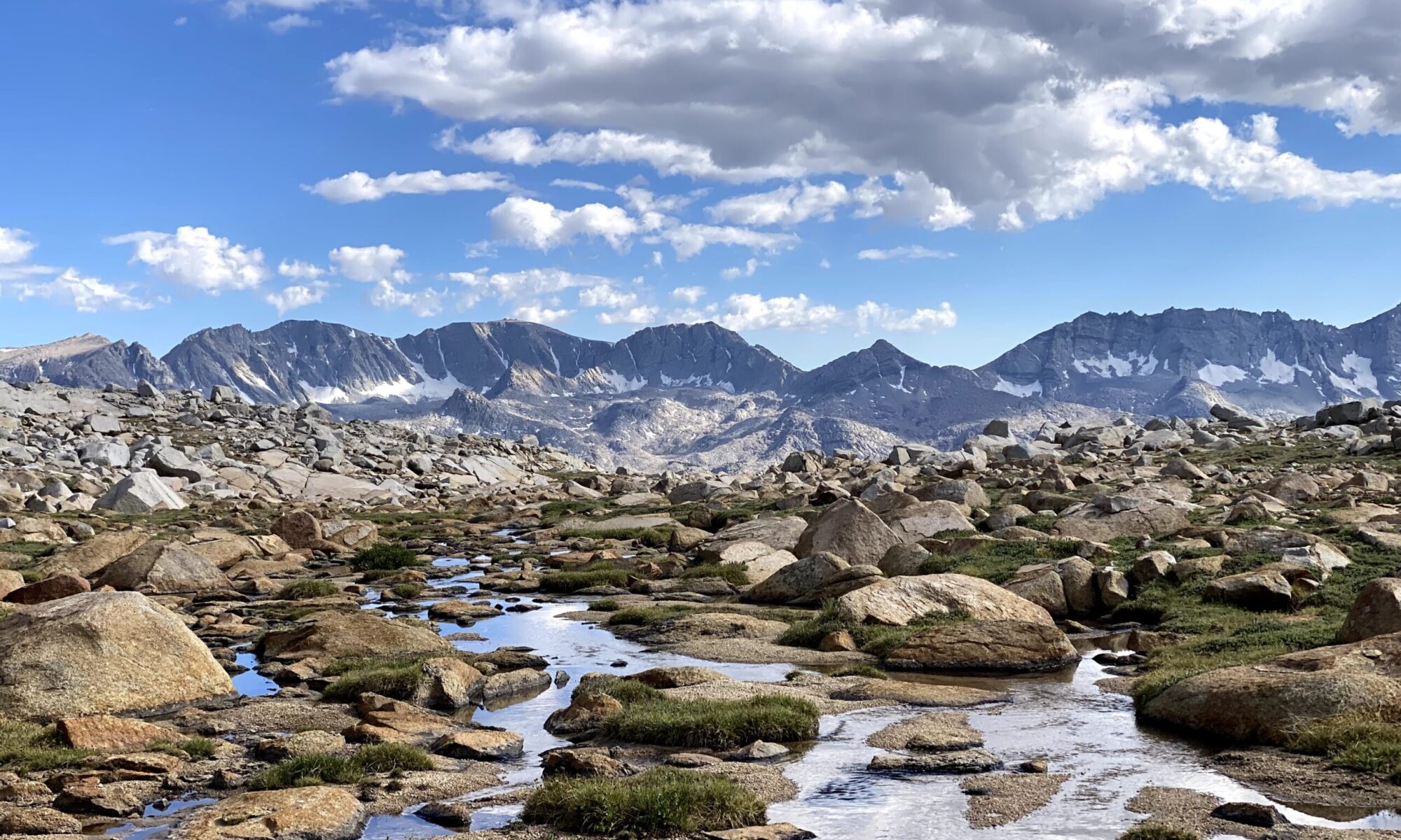
Though the weather was objectively bad, we were really enjoying ourselves. It’s all about mindset in the mountains: whatever you let bother you is going to bother you and whatever you don’t, won’t. We decided not to let the thick fog and wetness be a problem, which meant we could revel in what a cool experience it was to be up here in such unique weather. The fog gave everything a grey hue, almost as if our vision was fading to black. I thought it was quite sublime.

To get to Walker Mountan, we first had to pass over an intermediary P300, denoted as “Hanging Valley Ridge HP.” As we neared this summit, we could see a couple figures moving up the slopes. We guessed it was Tom and Chris, and this was confirmed when we met them on the summit. Soon enough, Sean came up from behind and we had a merry little band of five headed over to Walker Mountain.

We went down the west side of Hanging Valley HP on a convenient deer/goat?/sheep? trail, and crossed a small saddle before heading up Walker. For some reason, I had the distinct feeling that we were in either a video game or a scene from Lord of the Rings.

After a short 500-foot climb, we were on top of Walker Mountain. Though normally a pretty drab area, the thick clouds kept things interesting and made for some interesting views, especially out towards Ink Rocks South. I was sure glad we hadn’t tried to follow through with our original plan.

Once we stopped moving, we all started to get pretty cold, so we only stayed on top a short while before heading back. Instead of going back over Hanging Valley HP, we decided to take the namesake hanging valley back down to Burt Canyon then follow the trail out. We weren’t sure if this route would work, but it seemed doable from the topo, so we gave it a shot.

The route was initially an easy stroll down the grassy valley, but we soon reached the headwall that made the hanging valley hanging.

While the loose rock meant we had to be sure we didn’t knock boulders on each other’s heads, the headwall was fine, if a bit steep. This deposited us into another hanging valley, this one far larger than the previous one.
We ambled about in the large valley as we made progress towards the headwall of this valley. There was a thick layer of brush between us and the trail, so I went ahead of the group and tried to fight my way through it. It was a sorry affair since the brush was taller than my head and I wasn’t really walking on the ground, more like floating on a few feet of branches. I was trying to find a clear path, but I couldn’t see more than 2-3 feet in front of me, so I was just aimlessly wandering downhill. Fortunately, the slope was pretty steep, so I was able to use gravity to crash through the brush – it would be hellacious to try to go up this. To make matters worse, the brush was wet from the rain, so I got absolutely soaked to the bone. I finally found a hidden little creek that didn’t have much brush, so just stumbled my way down the creek, not caring how wet I got any more.

Eventually, I broke through and ended up right on the trail. I turned around and watched the others make their way down the slope. Often they were totally consumed by the brush but every 30 seconds or so, I would see one of them pop up then dive back into the brush; sort of like whack-a-mole only there was no whacking. Once everyone made it down, we took the easy trail back to the trailhead, briefly running into Hunter who had started late to avoid the worst of the weather.
It was only 1:30pm when we returned, so I had plenty of time to gameplan for the next day. I had planned to sleep in my car again tonight, but myself and all of my gear was completely saturated with water as if I had just gone swimming, so I decided to get a motel room in Bridgeport. Fortunately, there was a room at the Bridgeport Inn, so I booked it and whiled away the afternoon drying my gear, getting lunch, and updating the spreadsheet. I was in bed by 7pm in preparation for 5am start the next day.
